Yucatán Peninsula
Large peninsula in southeast Mexico; heart of the Maya civilization.

Lee, Julian C · No restrictions
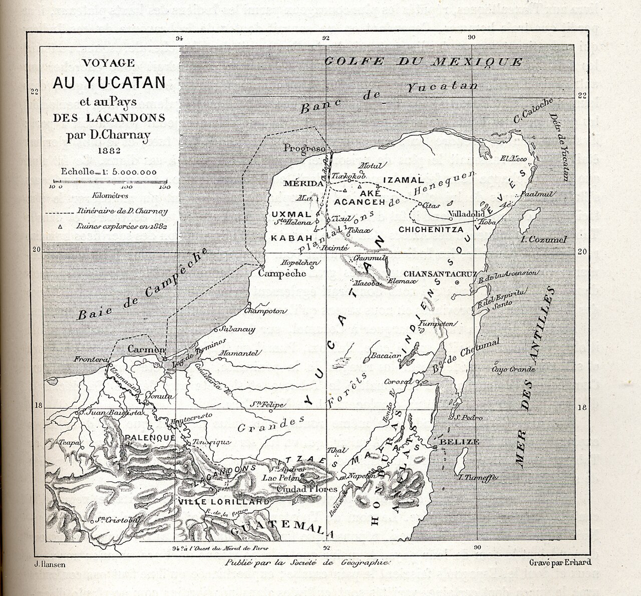
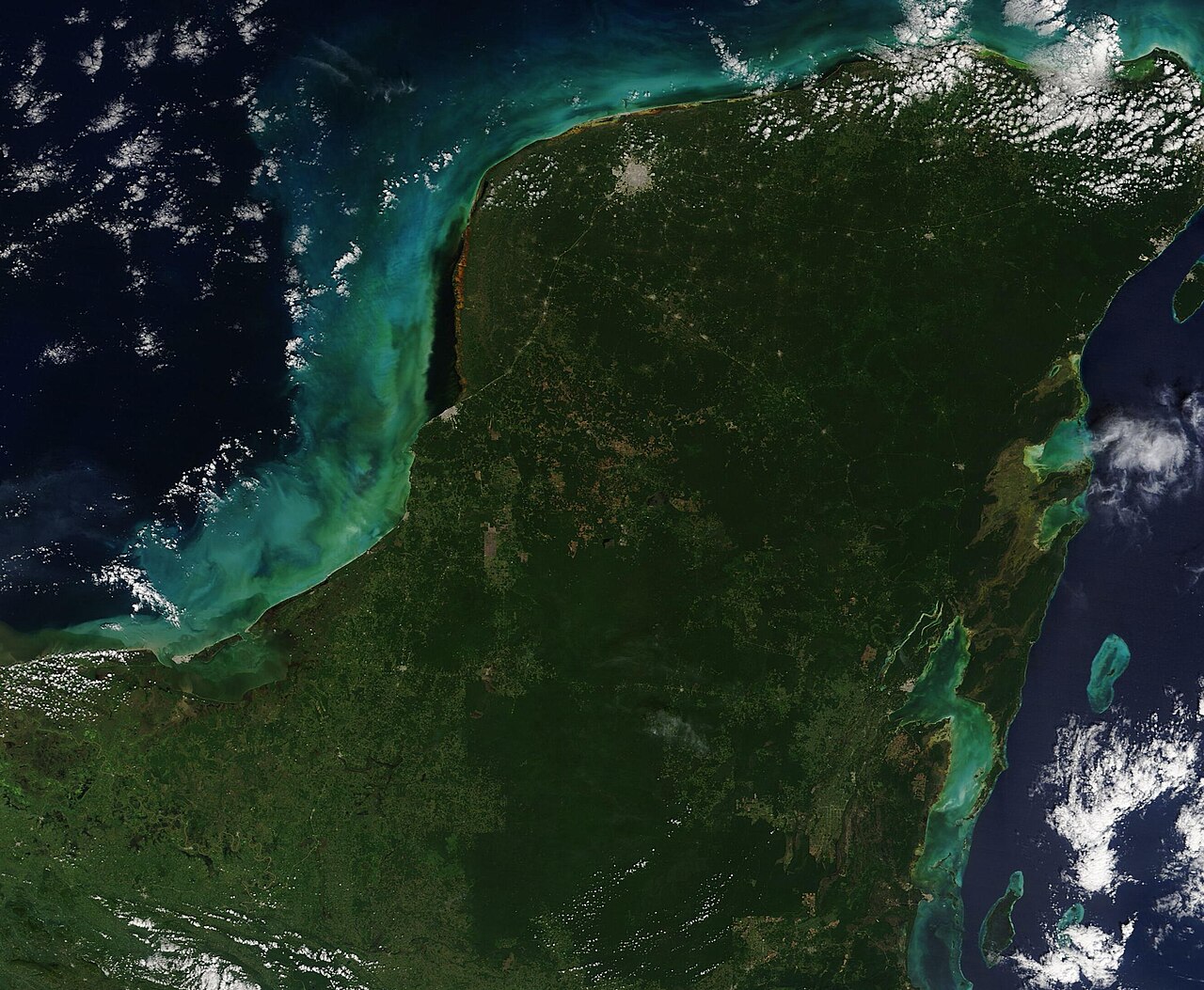
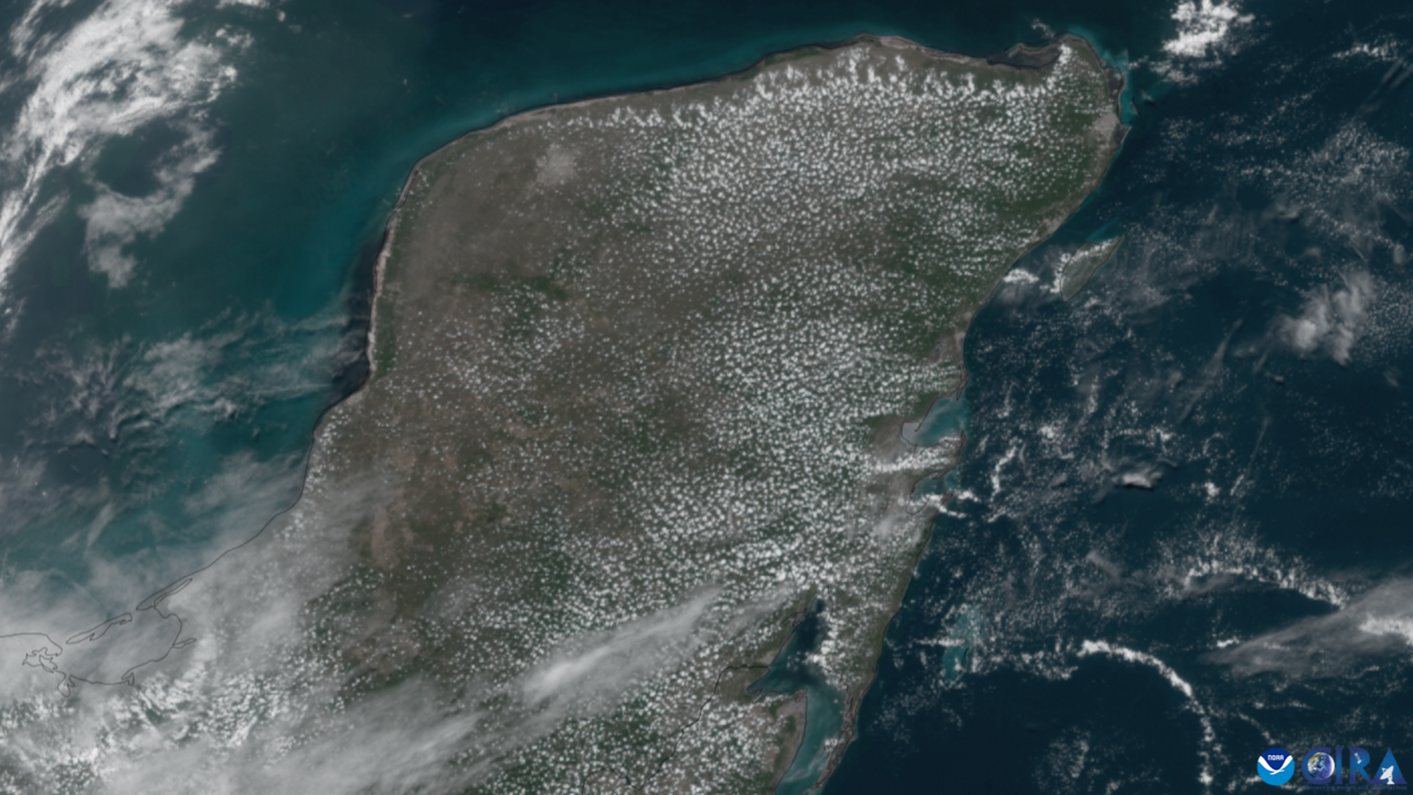
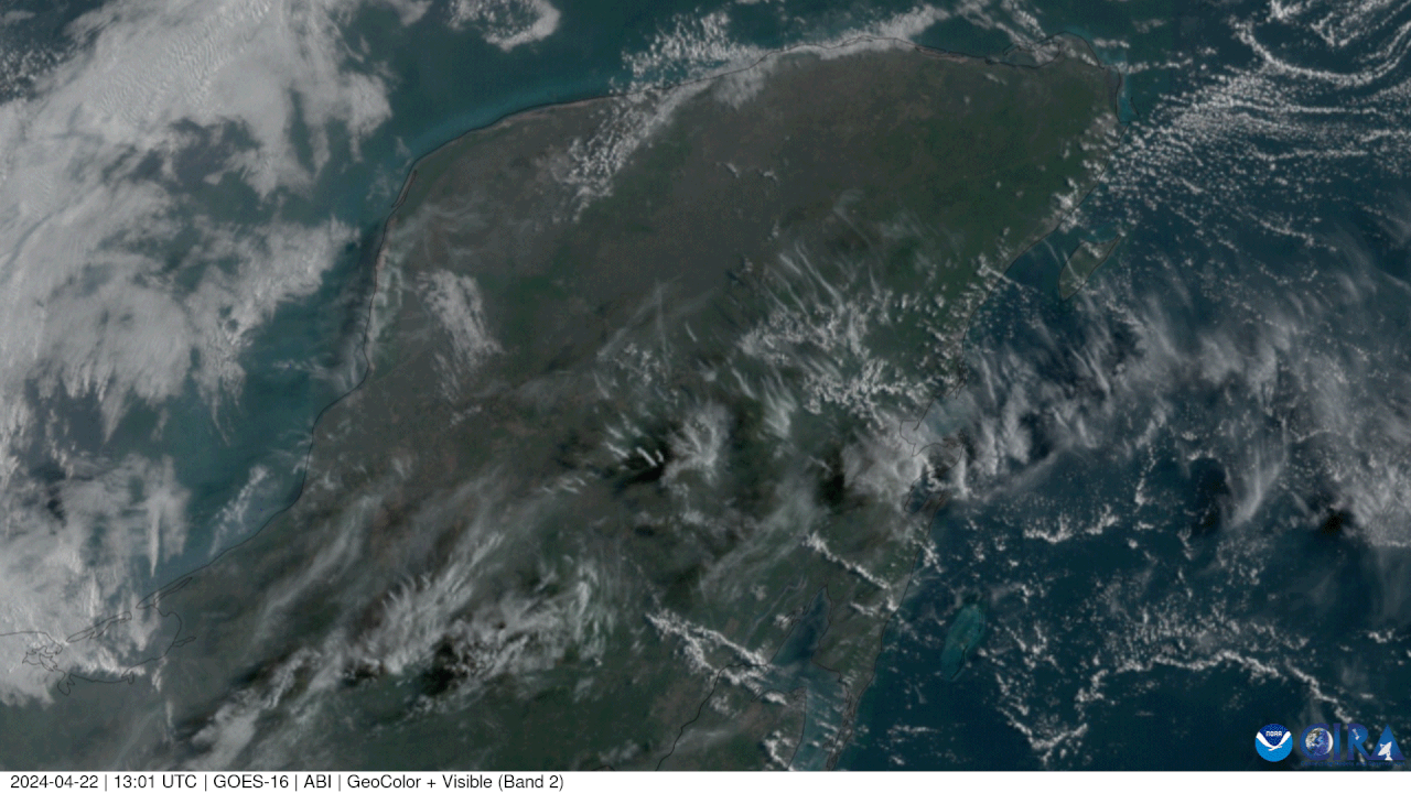
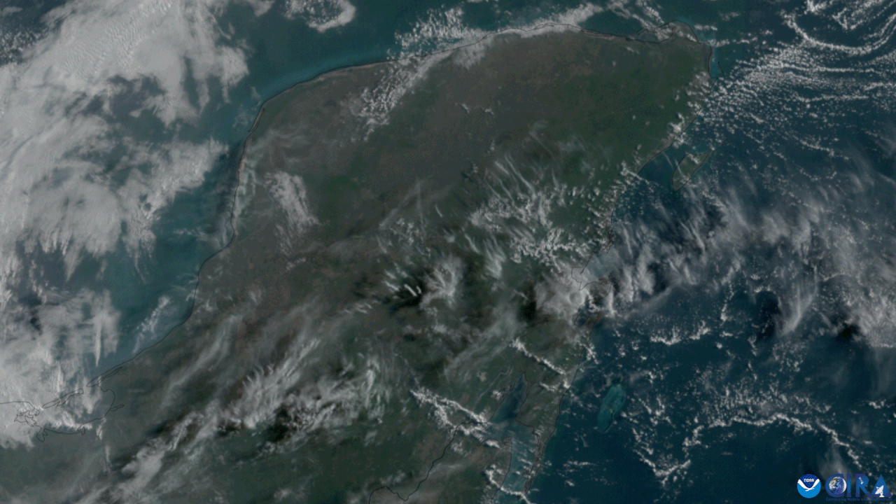
The Yucatán Peninsula is a large peninsula in southeast Mexico and adjacent portions of Belize and Guatemala. It extends northeastward, separating the Gulf of Mexico from the Caribbean Sea, and is notable for its low-relief, porous limestone terrain and its role as the central location of the ancient Maya civilization.
- location
- southeast Mexico, with adjacent portions of Belize and Guatemala
- notable_feature
- site of the Chicxulub crater, created 66 million years ago by an asteroid impact
- cultural_significance
- central location of the Maya civilization; home to archaeological sites such as
Lore & Background
The Yucatán Peninsula is the exposed portion of the larger Yucatán Platform, composed of carbonate and soluble rocks, mostly limestone. Its karst landscape features widespread sinkholes known as cenotes, which provide access to the groundwater system and have been relied upon by ancient and contemporary Maya people. The crater is centered off the north coast near the town of Chicxulub, and its existence is supported by the 'Ring of Cenotes' and impact debris such as shocked quartz and tektites. Her skull showed scars from hard blows and crater-like deformities possibly caused by a bacterial relative of syphilis. Researchers suggested she may have been expelled from her group and died in the cave.
Reader's Guide
The Yucatán Peninsula holds immense significance as the central region of the ancient Maya lowlands, where the Maya civilization flourished. Geologically, the peninsula is critical for understanding the Cretaceous–Paleogene extinction event, as the Chicxulub crater provides key evidence for the Alvarez hypothesis linking an asteroid impact to the mass extinction of non-avian dinosaurs. The region's karst landscape and cenotes have shaped both its ecology and human settlement, with the northern half lacking aboveground rivers and relying on groundwater accessed through sinkholes. Today, indigenous Maya and Mestizos of partial Maya descent form a sizable portion of the population, and Mayan languages remain widely spoken. The peninsula's tropical climate and vulnerability to Atlantic hurricanes continue to influence its environment and human activities.
Did You Know?
- The Yucatán Peninsula is the site of the Chicxulub crater, created 66 million years ago by an asteroid impact.
- The peninsula is home to archaeological sites such as Chichen Itza, Coba, Tulum, and Uxmal.
- The peninsula's northern half lacks aboveground rivers, relying on groundwater accessed through sinkholes called cenotes.
Almost an Island: The Etymological Identity
The very name "peninsula" carries a poetic tension that perfectly describes the Yucatán's geographic character. Derived from the Latin paene, meaning "almost," and insula, meaning "island," the term captures the essential paradox of such landforms: they are nearly cut off from the world by water on all sides, yet remain tethered to the mainland by a narrow strip of earth. The surrounding waters are typically understood to form a continuous body, though they do not need to carry a single unified name. This is precisely the condition of the Yucatán, a vast expanse of land pressed against the sea on three sides while still belonging to the larger continental mass. The word itself reminds us that the Yucatán exists in a liminal space—neither fully island nor fully continent, but something in between that has shaped human settlement, trade, and cultural identity across the centuries.
Naming the Shape: Classification and Terminology
Not every protrusion of land into water earns the title of peninsula in the same way. The broader category encompasses headlands, capes, island promontories, bills, points, and spits, each carrying its own connotation of scale and prominence. A point, for instance, is generally understood as a tapering projection that is less dramatic than a cape. The Yucatán, with its broad, sweeping arc, clearly occupies a higher tier in this hierarchy than a mere point or spit. English speakers have two acceptable plurals—peninsulas and, less commonly, peninsulae—reflecting the term's Latin roots. Interestingly, the concept can extend beyond solid land: a river carving through an extremely tight meander may be said to create a "peninsula" within the nearly closed loop of water around it. This flexibility in definition shows how the Yucatán's identity as a peninsula is not merely a fixed label but a relational description of its position between land and sea.
Among the Giants: The Yucatán in Global Context
When we place the Yucatán alongside the world's other major peninsulas, its scale becomes clearer. Europe itself is sometimes described as one enormous peninsula extending off Eurasia, composed of four principal components: the Scandinavian, Iberian, Balkan, and Apennine. The Iberian Peninsula dominates the western edge of that continent, while the Apennine shapes Italy's identity. In Asia, the Deccan stands as the sole largest geographical feature of the Indian subcontinent, the Arabian Peninsula claims that distinction in Southwest Asia, and Anatolia holds the same title in West Asia. The entire Korean landmass functions as a single peninsula, hemmed in by the East Sea to the east and south and the Yellow Sea to the west. The Yucatán, though not listed among these continental-scale giants, shares their essential character: a landmass whose identity is defined by the water that wraps around it, shaping climate, ecology, and the movement of peoples.
Borders That Shift: The Fluid Nature of Peninsular Identity
A peninsula's status is not carved in stone. Greece's Peloponnese, once a classic example of peninsular geography, has been transformed into an island by the construction of the Corinth Canal, severing the narrow isthmus that connected it to the mainland. Similarly, modern geographers have rejected the notion of a "Balkan Peninsula" because the region's natural borders do not align with the technical definition of the term, even though the label persists in common usage. Europe's own continental status is described as "largely a matter of convention rather than science," a reminder that geographic categories are human constructs layered over physical reality. The Yucatán, too, exists within this fluid framework. Its boundaries with the sea, its relationship to the North American mainland, and its ecological distinctiveness all depend on where one draws the line. The water that defines it may shift with sea-level change, and the political borders that overlay it are far more mutable than the land itself.
Gallery
Frequently Asked Questions
Who is Yucatán Peninsula?
Yucatán Peninsula is a vast landmass stretching northeastward through southeast Mexico, Belize, and Guatemala, serving as the natural barrier that separates the Gulf of Mexico from the Caribbean Sea. It spans roughly 181,000 square kilometers of low-lying ground.
What are Yucatán Peninsula's powers/role?
Its entire surface is built from porous limestone resting on the Yucatán Platform, producing a karst landscape full of cenotes and subterranean rivers. The climate gradient runs from semi-arid in the northwest to humid tropical in the south.
How does Yucatán Peninsula's story end?
As a living landform its narrative is still unfolding, but its most dramatic ancient chapter was written 66 million years ago when a colossal asteroid struck here, carving the Chicxulub crater and triggering the extinction event that wiped out the non-avian dinosaurs. Today the peninsula continues to host thriving Maya heritage sites such as Chichén Itzá, Tulum, Coba, and Uxmal.
Why is Yucatán Peninsula important?
It was the central stage of the ancient Maya civilization, yielding some of the most iconic archaeological cities in the Americas. Its unique carbonate geology also makes it a key site for studying Earth's deep geological and biological history.
What is Yucatán Peninsula's origin story?
The peninsula is a fragment of the Yucatán Platform, a broad carbonate shelf that accumulated marine limestone sediments throughout the Mesozoic era. Its characteristically flat, low-relief profile is the product of millions of years of that slow marine deposition followed by gradual tectonic uplift.
More in Peninsulas And Capes 25-26
Related in Peninsulas And Capes
Links follow this subject's own source article.
Elsewhere in the Peninsulas And Capes universe
Spotted an error? Know more?
This is a living reference — every entry is fact-audited, and reader corrections feed straight into our audit queue. Suggest an edit · See this site's audit record